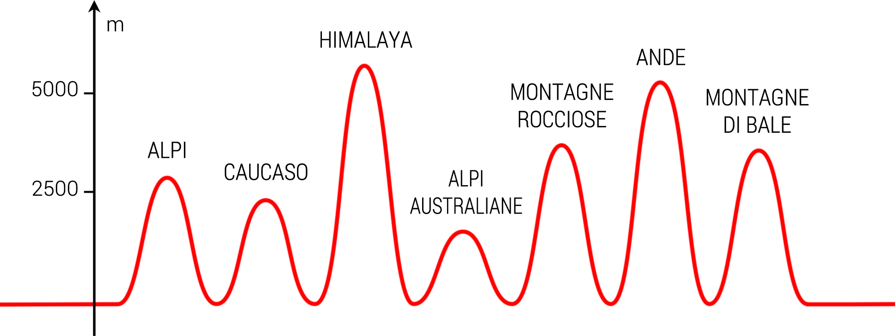
 Seven are the passes, one for each continent, considering the division between the two Americas and between Western and Eastern Europe. The passes have been selected by altitude, accessibility and crossing of the most important mountain ranges. It has been a difficult research due to lack of information, but combining the few sources on the web with the topographic maps of the chosen countries, we draw a route that crosses Alps in Western Europe, Caucasus in Eastern Europe, Himalaya in Asia, Australian Alps in the Oceanic Continent, Rocky Mountains in North America, Andes in Latin America and Bale Mountains in Africa.
Check out each single pass detailed description.

- Col de la Bonette
- Ilgar Dagi Gecidi
- Tro La Pass
- Mount Hotham
- Cotton Wood
- Abra Azuca
- Bale Mountain Pass
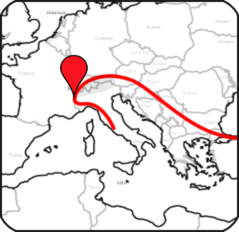
Located immediately after the italian border in the Maritime Alps in France, it is the first pass of the trip. It has been part of the Tour de France several times, and it is officially recognized as the highest pass in Europe, due to its 2.802 meters. Climbing up from Isola, it is a 40 km long road, a drop of approx. 2.000 meters, average percentage is 6-7%.
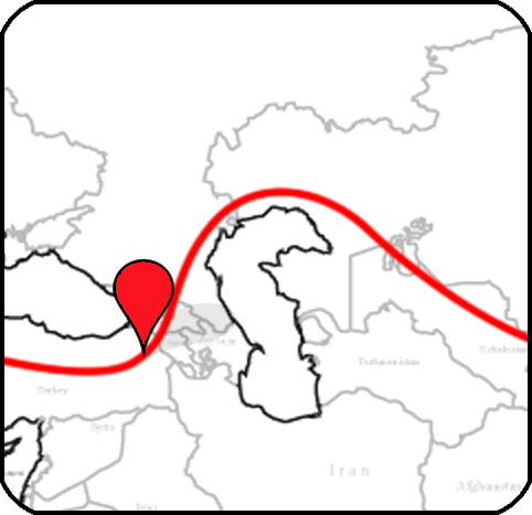
The pass is located in the Kackar Mountains, belonging to the range of Caucasus, in the Eastern Turkey and close to the border with Georgia. It is 2550 meters high, more than the other Caucasian and Armenian passes. We will climb it in winter, and the uphill will be very hard in the last km, with a percentage more than 10%.
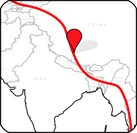
Himalayan uphills are not extremely steep, but the unpaved road and the impressive heights make them harder even for the best trained cyclists. The route rides along a plateau located at an elevation of 4.000 – 5.000 meters, the Tro La Pass lies at the border with Tibet at an altitude of 4.900 meters.

This is the lowest pass of the trip, only 1.830 meters but it does not mean it is the easier. The ascent is 16 km long and the average percentage is 6-7%. It is located on the Great Alpine Way in Victoria, Australia, a road that runs along the Snowy Mountains in the mountain range of Australian Alps.
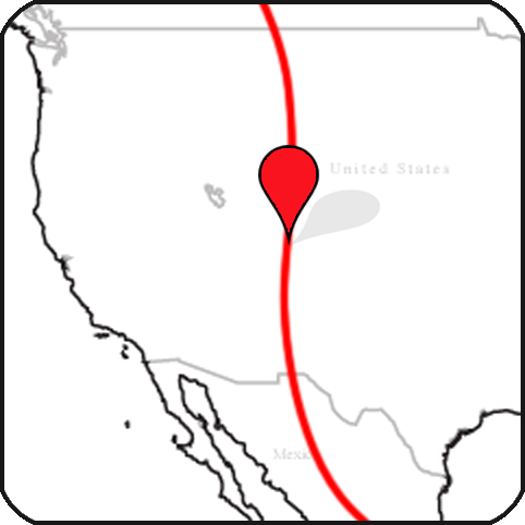
First american pass, at 3.696 meters, it is located in the middle of the Rocky Mountains, Colorado, the most important North America’s mountain range. It marks the Continental Divide, the principal hydrological divide of the Americas, which also form an interesting cycling route that connects Alaska with the Argentinian Tierra del Fuego.
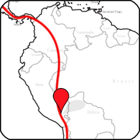
In the heart of the Peruvian Andes, close to the Huacullo’s lagoon and the homonymous village, there is an unpaved road that goes up until 5.130 meters, crossing one of the largest silver mines in the world. 40 km of riding along a plateau, that never goes down the impressive height of 4.500 meters.
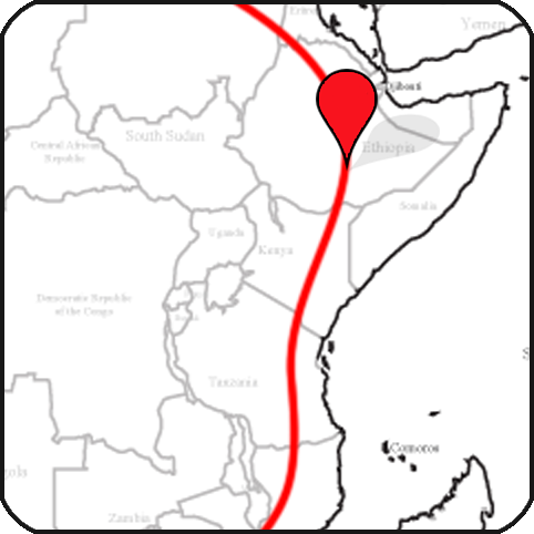
The highest and accessible african pass should be located in Ethiopia, at 3.610 meters, in the Bale Mountains range, inside the homonymous national park. It can be reached by riding the road that connects the small villages of Dodola and Dinsho, right on top of the famous Great Rift Valley, in a fascinating and unique environment.


